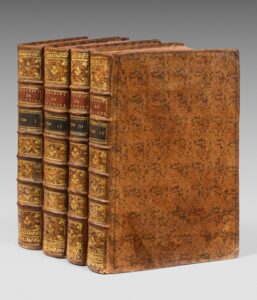
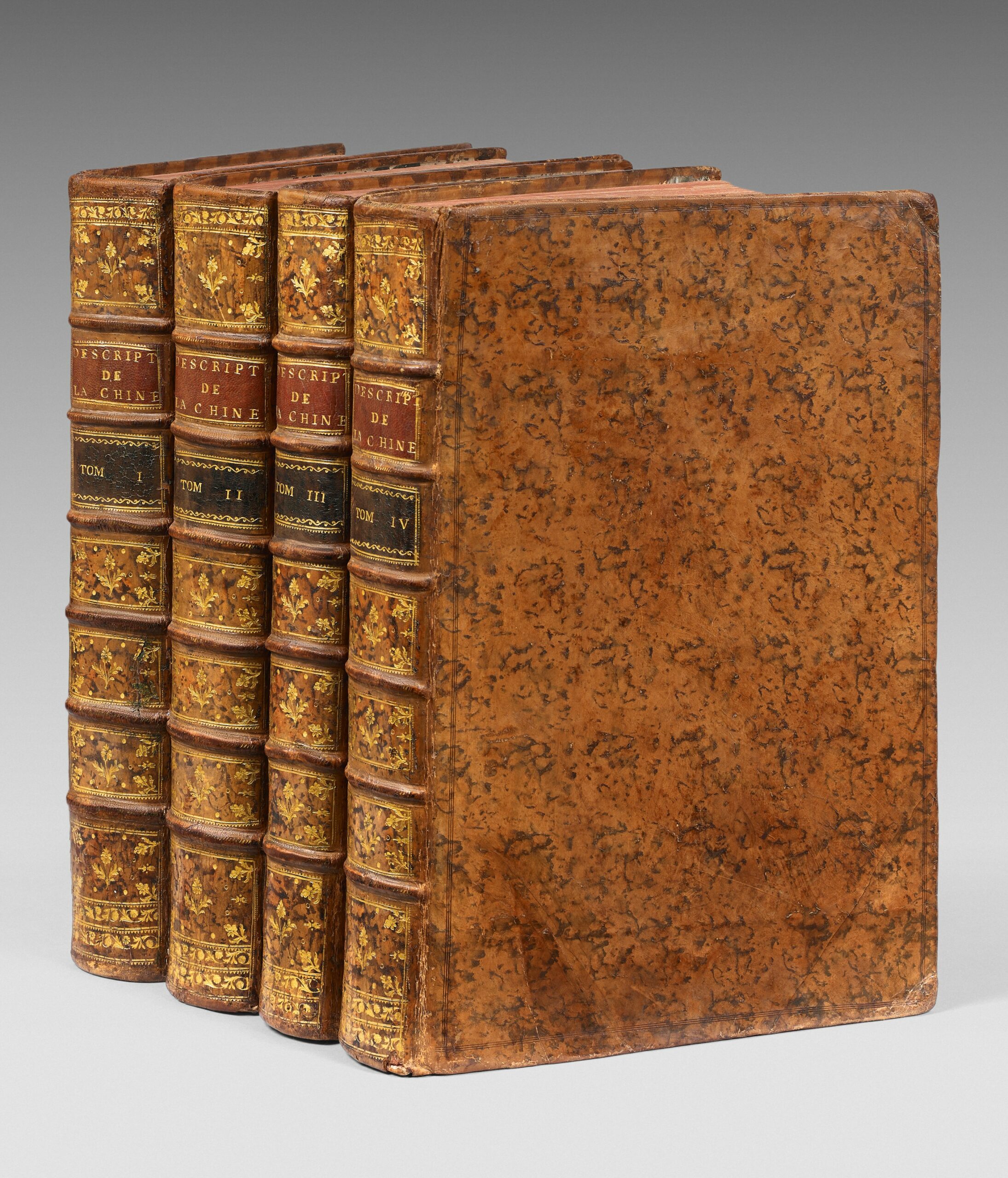
4 large folio volumes of: I/ (2) ff., viii, Lii, iii pp., (1) p., 592 pp., 7 full-page plans, 18 folding maps; II/ (2) ff., iv pp., 725 pp., (1) p., 8 folding plates, 1 plan and 1 full-page plate; III/ (2) ff., iv pp., 564 pp., (4) pp., 2 full-page plans, 1 page of music, 2 folding plates; IV/ (2) ff., ii p, 520 pp., 25 folding maps, tiny wormhole in the lower blank margin of 20 ff. without affecting the text, small tear on 1 map without loss. Full porphyry calf, triple blind fillet frame on the boards, spine with raised bands adorned with gilt fleurons, red and green morocco title and volume labels, red edges, one hinge partially split. Binding of the period.
417 x 275 mm.
Original edition of this geographical treatise, “the first to present China in a somewhat accurate manner.”
Brunet, II, 870; Chadenat 5053; Cordier, Bibliotheca Sinica, 46-48 (which only mentions 64 plates); Cox I, 335; Lust, Western Books on China 12.
“One of the most important works on ancient China and the surrounding regions” (Chadenat).
It was written by Father Jean-Baptiste Du Halde, a French geographer who joined the Society of Jesus in 1708, and is based on very precise elements from letters written by Jesuit missionaries sent to China and the surrounding regions.
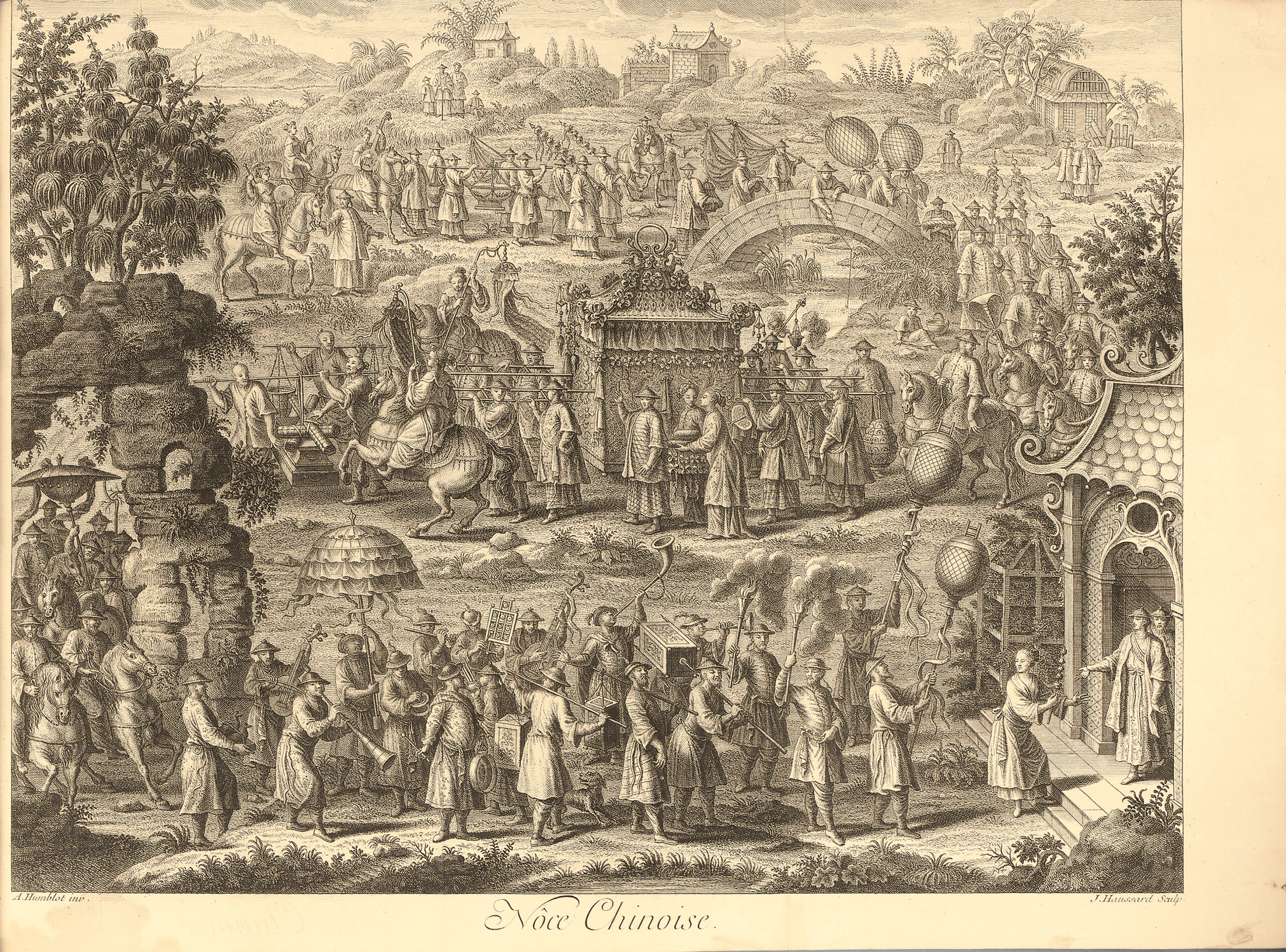
It is adorned with vignettes and 22 large full or double-page plates, some folding, of various scenes: Chinese wedding, royal procession, costumes, funerals, different types of fishing, duck hunting, Chinese boats, silk weaving, plants and fruits, …
It also includes 43 beautiful folded maps and plans that faithfully reflect the exact state of geographical knowledge of the time about the described regions.
The large general maps, including that of China (690 x 470 mm), that of Chinese Tartary and that of Tibet are by Jean-Baptiste Bourguignon d’Anville.
The “Map of the countries crossed by Capt. Beering from the city of Tobolsk to Kamchatka” bound between pp. 452 and 453 was made from the handwritten map by Beering, which was given to the King of Poland and subsequently to Du Halde for reproduction here. It is the first printed map of part of present-day Alaska.
Some of the maps have borders enhanced with various colors of the time.
The volume is complete with all 65 illustrations.
Precious copy preserved in its elegant contemporary bindings in porphyry calf.
See less information