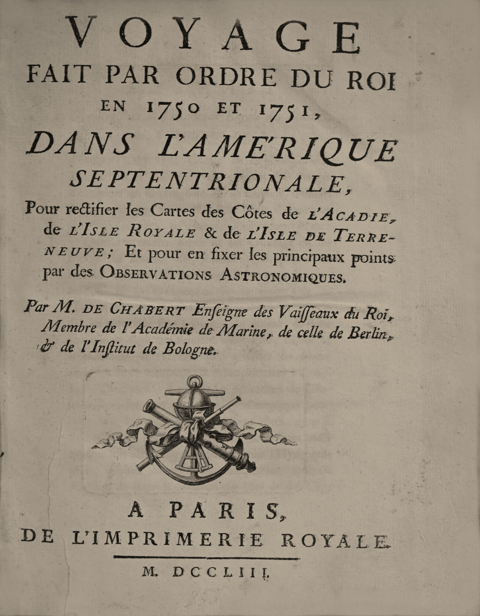
Paris, Imprimerie royale, 1753.
4to, with (1) l. title, viii pp. of extracts and tables, 288 pp. of text, (5) ll. of table, (1) blank l, 6 folding maps, one plate and one folding table at the end, unbound.
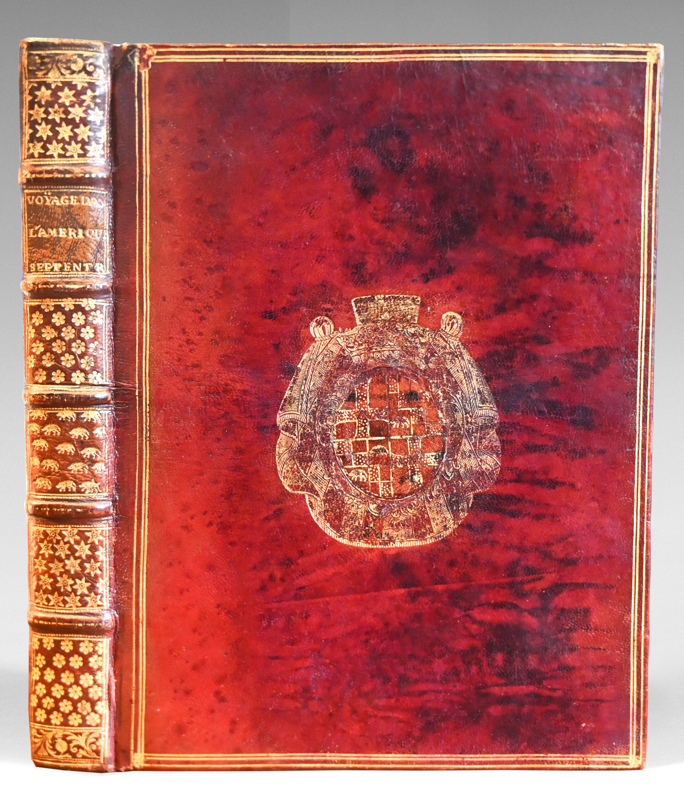
Full red morocco, triple gilt fillet framing the covers, large armorial devices in the center, upper cover darkened, spine with raised bands richly decorated with armorial pieces, gilt fillet on board edges, gilt inner dentelle, gilt edges. Contemporary armorial morocco binding.
249 x 185 mm.
Original edition of this important travel account of the coasts of Acadia.
Henze I, 536; Lande 114; Leclerc 691; Sabin 11723.
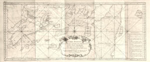
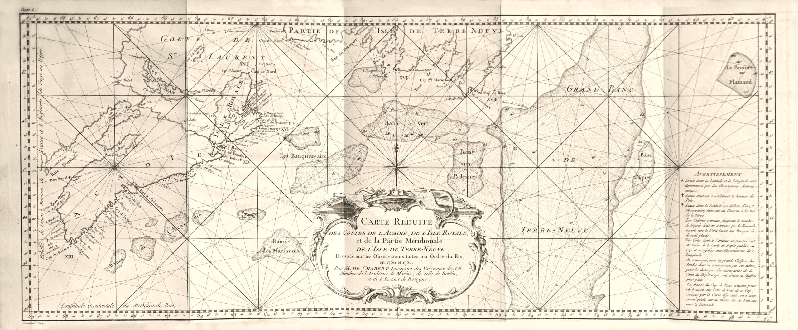
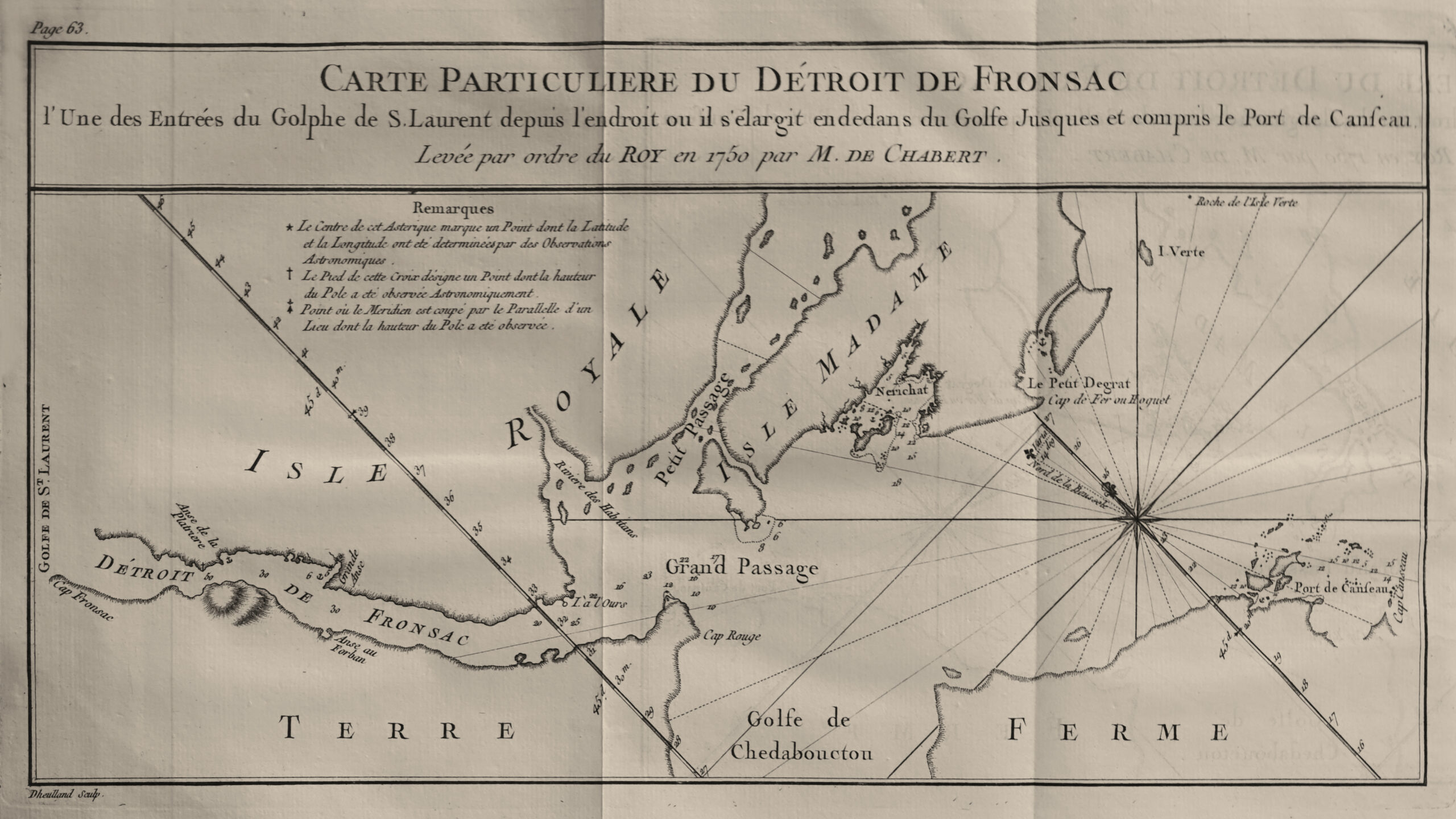
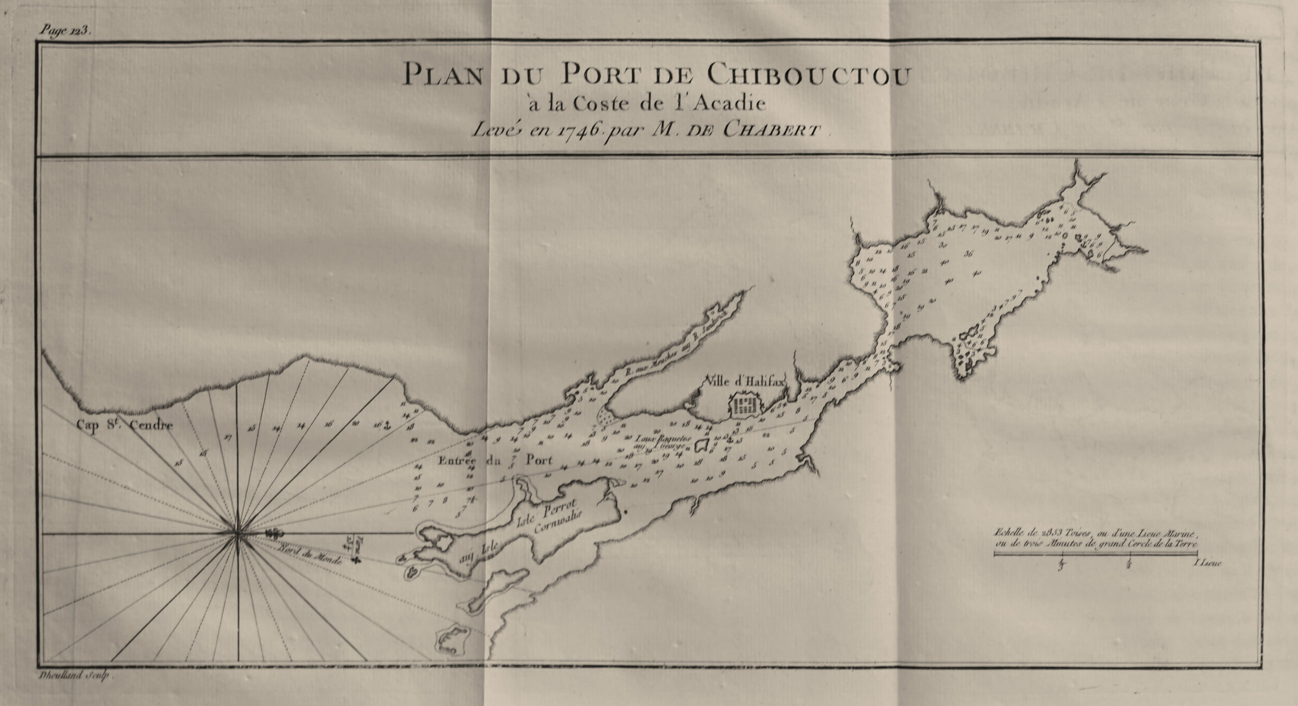
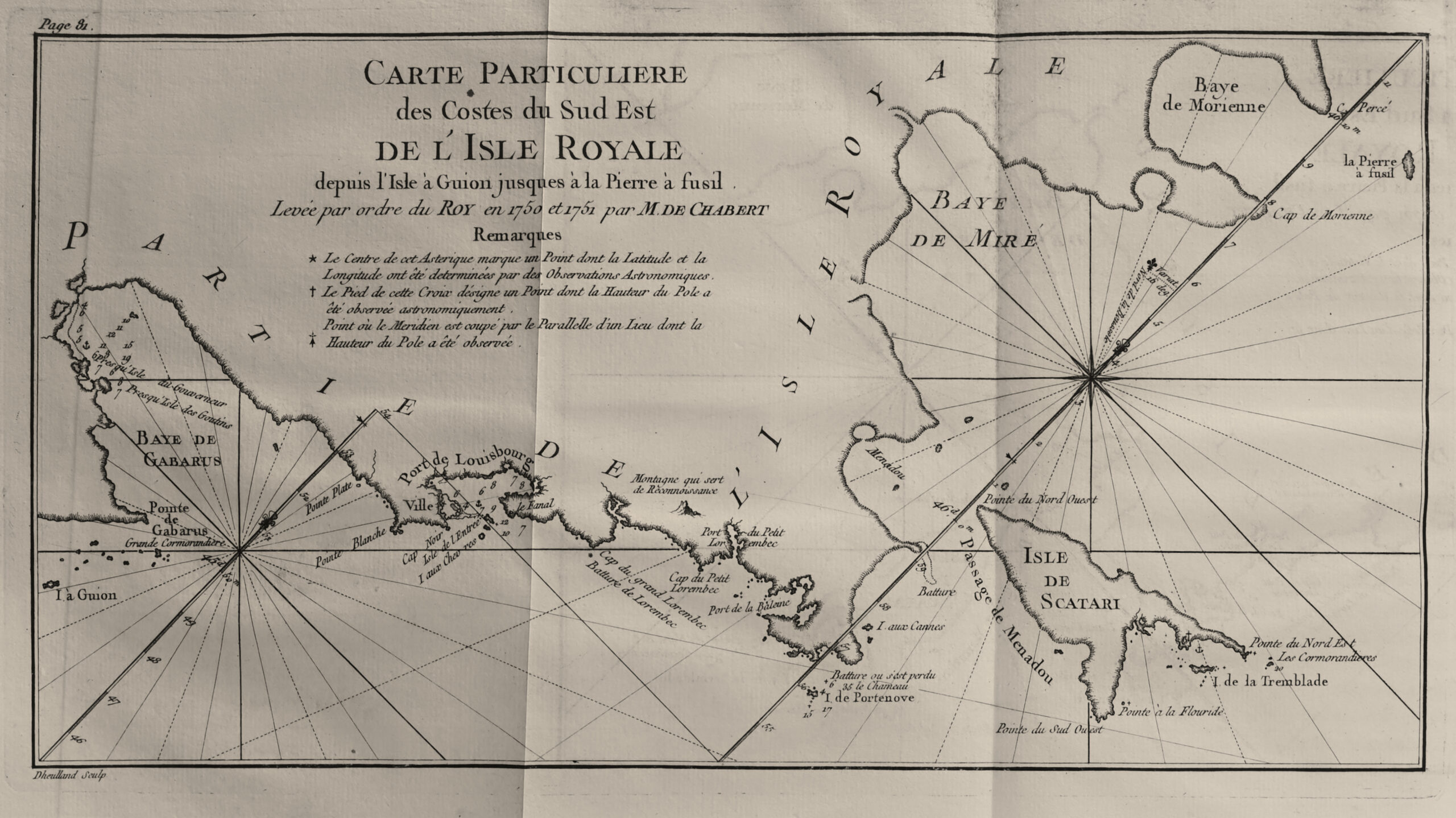
“One plate and 6 large maps give this esteemed work great value for the geography of Canada,” writes Chadenat. An additional out-of-text table is folded at the end of the volume.
The work by the Marquis de Chabert de Cogolin received the highest praise from the commission appointed by the Academy of Sciences to examine it and was offered as a model to future navigators, notes Sabin.
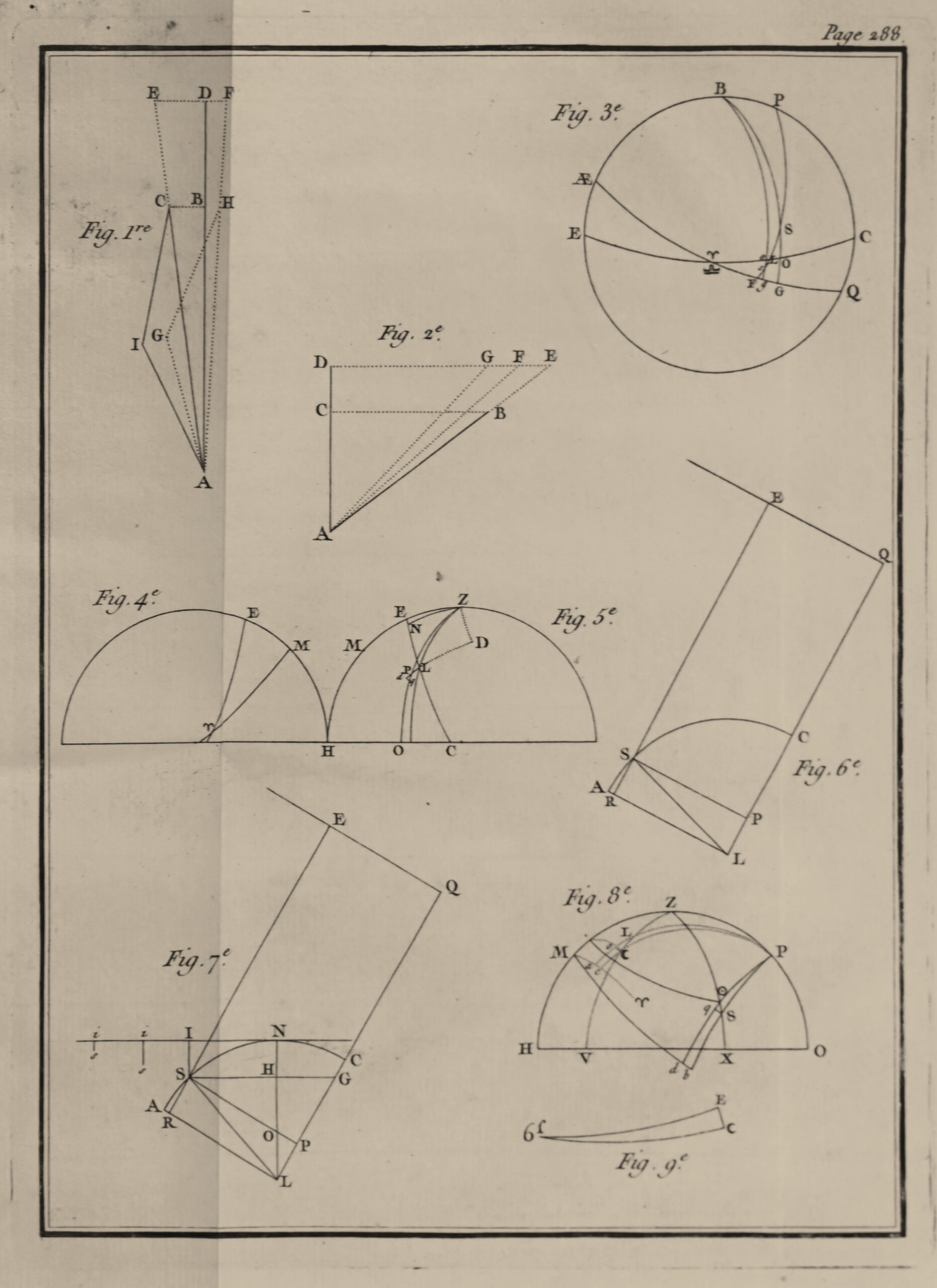
It is divided into two parts: the first contains the author’s account of his journey from Brest to Louisbourg and of his four expeditions on the nearby islands and coasts, and the second, the astronomical observations he made at sea, which are renowned for their accuracy.
“An esteemed work in regard to the astronomical observations it contains, which are of the highest accuracy.” — Leclerc 691.
“Chabert (Joseph-Bernard, marquis de), squadron leader and hydrographer, born in Toulon on February 28, 1724, entered the navy at a very young age, where he earned dual distinction both through his brave service in battle and through his dedication to hydraulic and geographic work which, in securing him a place among scholars, proved highly useful to navigators sailing in the regions of North America.
Chabert took part in most of the battles fought by the French navy against the English in both hemispheres during the early years of the reign of Louis XVI.
He was the one who determined the placement of the Acadian coasts on the map of the province of Canada, and he recorded the results of his work.”
“Our route was hindered by the wind which shifted to the northeast on the morning of the 3rd & was followed by calm, which forced us to finish by taking a bearing at a distance of two to three leagues from the southern point of Miquelon Island, the largest of the Saint Pierre islands. From this I deduced the position of that point as east-southeast 3 degrees three-quarters east at a distance of 42 and a half leagues from Cape Ray. Miquelon Island is about five leagues in length north to south and a league and a half in width, and Saint Pierre Island to its south is two leagues in length in the same direction. On the 4th we passed between these two islands, separated by a gap of three-quarters of a league, in the middle of which one finds 50 fathoms and everywhere enough depth for the largest vessels.
We passed to port the low-lying Green Island and to starboard a small but very high and almost sheer-sided island called Colombier; it lies very close to the northeast point of Saint Pierre Island and serves as a landmark when approaching from the southeast. One finds 50 fathoms at a cable’s length from it.
We then came before the entrance of the port on the east side of Saint Pierre Island; several small islands shelter the anchorage from the open sea on the southeast. It appeared to me good and suitable for all kinds of vessels. A plan of it is found in the 4th book of The English Pilot, printed in London in 1732, which I have already cited on page 39. We were two cables from land before the entrance of this port and Colombier Island was to our northwest by west by compass, with about 50 fathoms of depth at that spot, when at two in the afternoon a light breeze rose from the west-southwest.
We made course from that point toward Cape Sainte Marie, before which we arrived the next day, and its position was determined to be twenty-four leagues east one degree south from the entrance to the port of Saint Pierre Island. One notices on the coast, ten leagues east by north-east from that same port, a high and very recognizable mountain called Chapeau Rouge, before which the compass variation was again observed as 16 degrees northwest. This mountain and Cape Sainte Marie, which lie 14 leagues apart, form the mouth of Placentia Bay. The port of the same name is about 12 leagues north of Cape Sainte Marie; its description and a plan of it can be found in Father Charlevoix’s Histoire et description générale de l’Amérique septentrionale.”
Provenance: Binding with the arms of Louis III Le Pelletier de Rosambo (1690–1770).
“He inherited the immense Breton estates of his mother and grandparents. On December 1, 1708, his father acquired for him a position as King’s Advocate at the Châtelet for 63,000 livres, and on January 24, 1710, a post as Councillor in the Parliament and Commissioner for Petitions at the Palais for 84,000 livres. In 1711, after his father’s retirement, Louis III Le Pelletier obtained the office of President à mortier, previously held by Jean-Antoine de Mesmes, who had been appointed First President, and he held the position until May 29, 1736.” (Stoll, Mathieu. Servir le Roi Soleil. Presses universitaires de Rennes, 2011)
Copies in contemporary armorial morocco are extremely rare.