
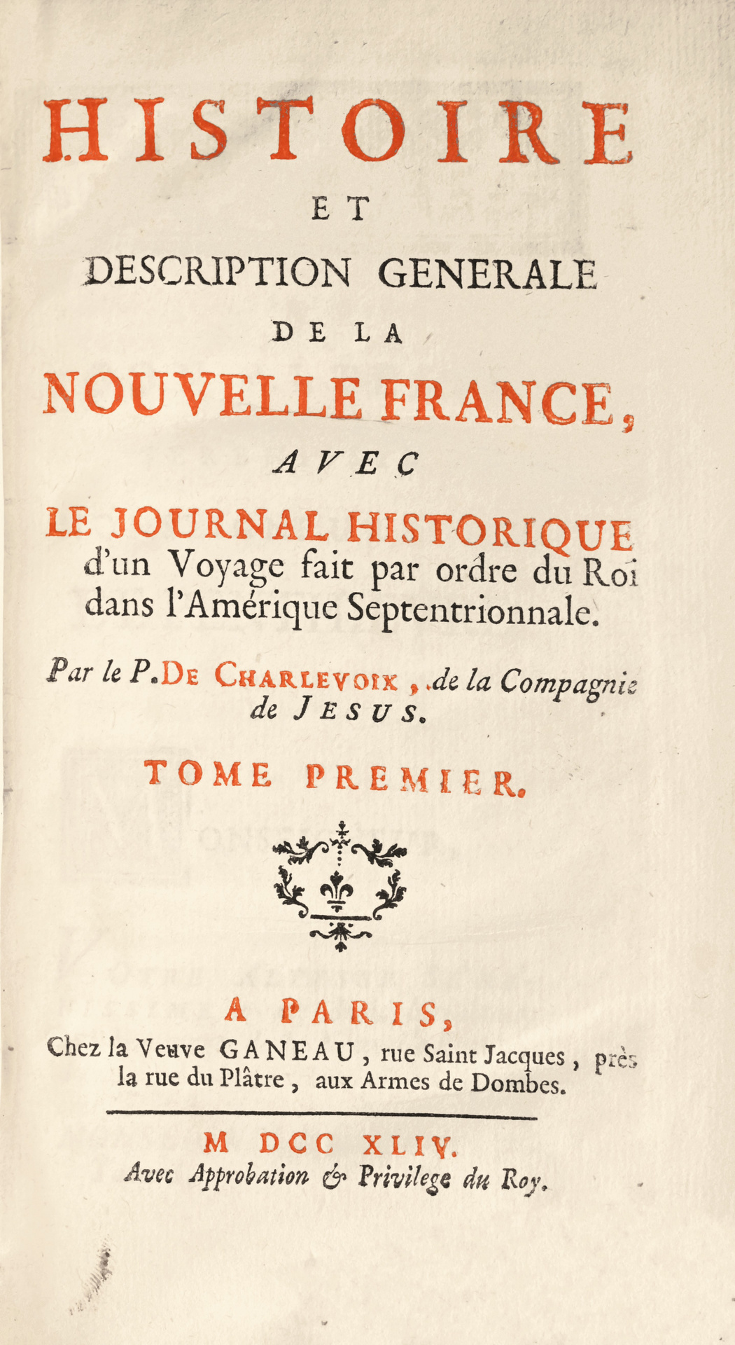
Paris, Ganeau, 1744.
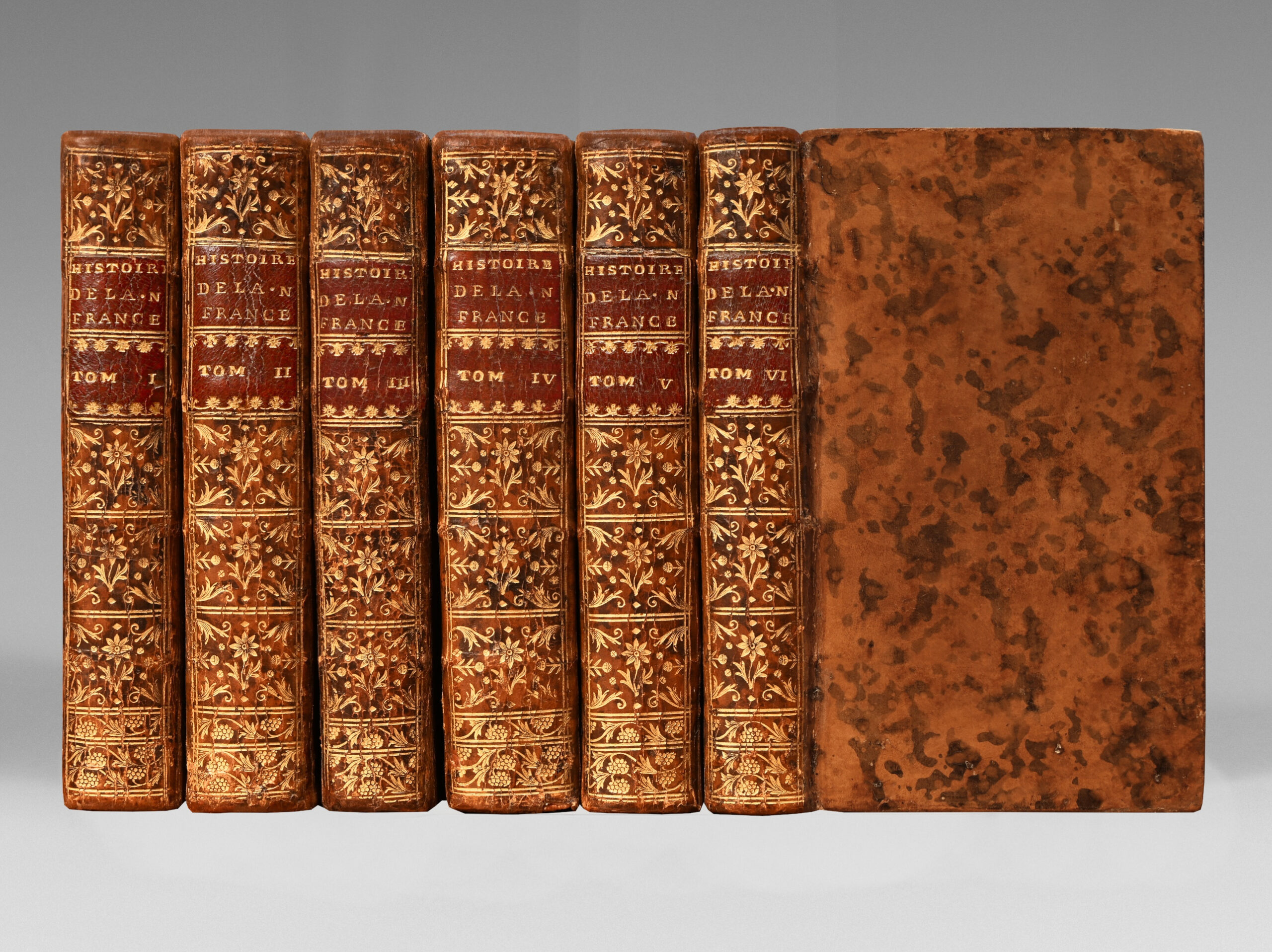
6 volumes 12mo [167 x 98 mm].
I. (3) ll. -VIII-454 / II. (1) l. – 501 / III. (1) l. – 465 / IV. (1) l. – 388 / V. (1) l. – XXVIII – 456 / VI. (1) l. – 434 – (2) ll.
Marbled calf, decorated flat spines. Contemporary binding.
167 x 98 mm
First 12mo edition published at the same time as the 4to edition.
Leclerc, 316 / Sabin, 12136 / Quérard, II. 137.
It is, according to Leclerc, the most important and the most complete work that exists on the history and the geography of our ancient colony.
Father Charlevoix embarked in 1720 for Canada’s missions. He went up the St. Lawrence, made an excursion in the country of the Illinois, went down the Mississippi to its mouth and returned to France in 1722.
“It is essential for anyone who wants to know the origins and developments of the French Power in these countries”. (Chadenat).
« This is one of the most important works there is relating to Canada. It contains not only what the author saw himself but he has collected from the best authorities and with great judgment ». (Rich).
The Jesuit Pierre François Xavier de Charlevoix (1682 – 1761) embarked at La Rochelle in July 1720 for Canada’s missions. Arrived in Quebec, he went up the St. Lawrence, stopped in the country of the Illinois and descended the Mississippi to its mouth to go to Santo Domingo; but his ship sank at the entrance to the Bahama Canal.
His second voyage allowed him to reach Santo Domingo.
His work reporting his personal observations, especially on the geography and the flora of the crossed countries, also offers a very complete state of the knowledge at that time on Canada and Louisiana.
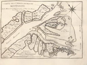
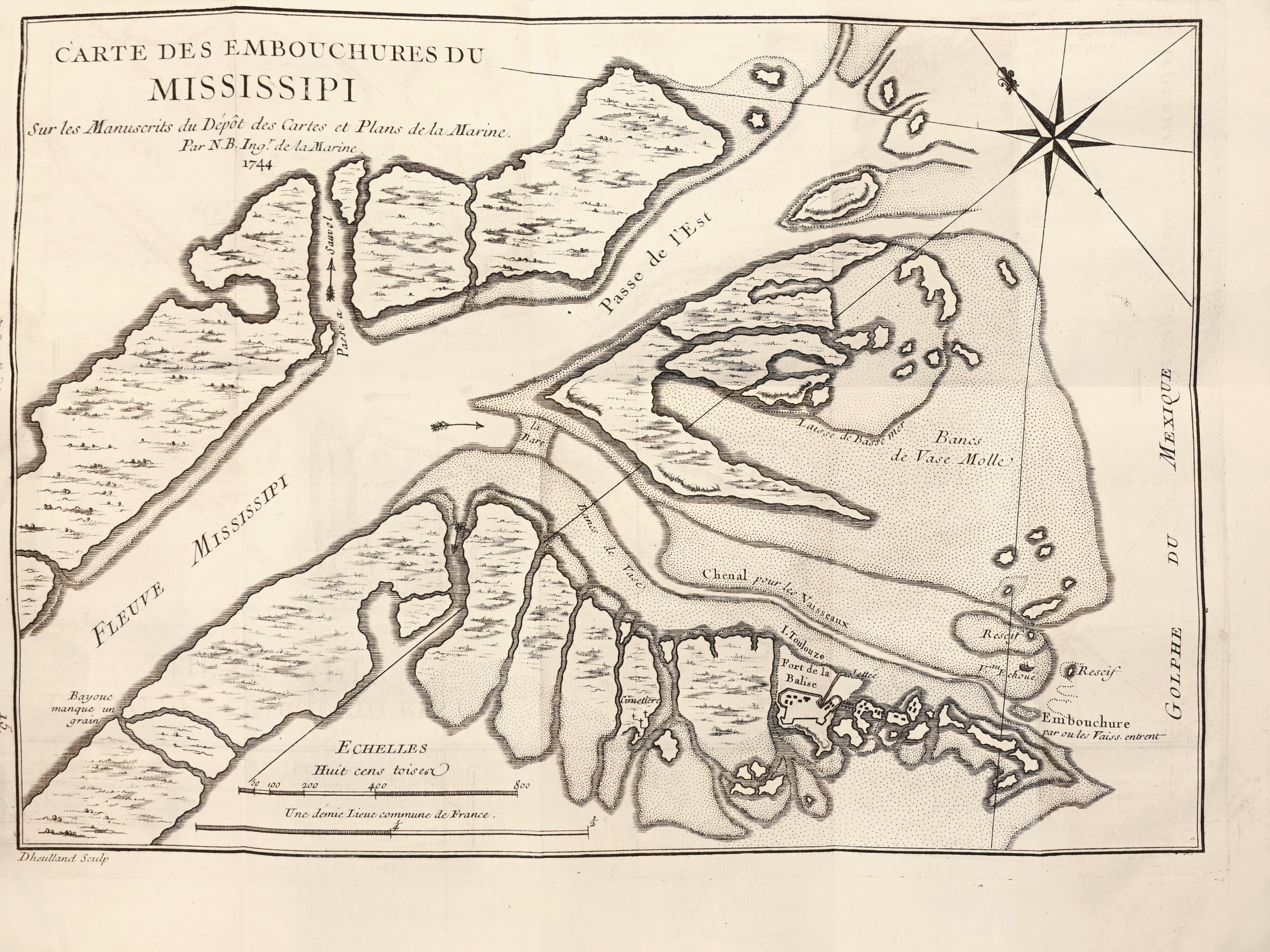
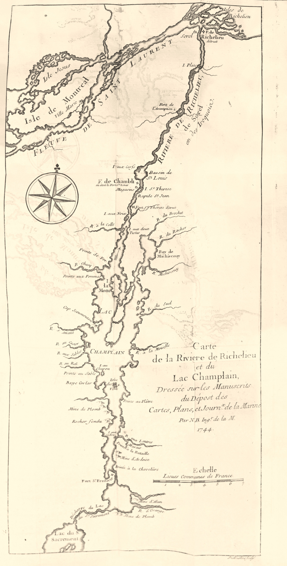
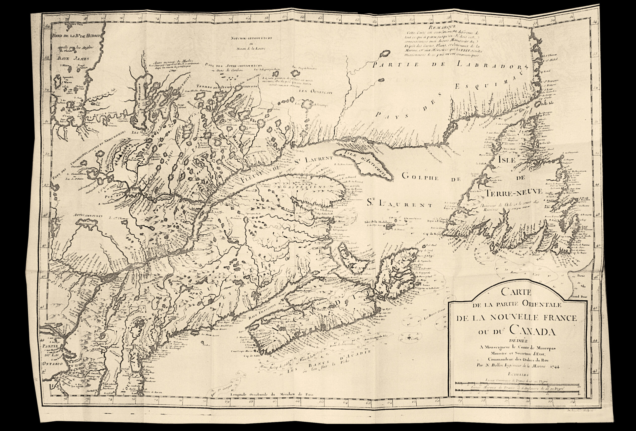
The particularly abundant iconography of great documentary interest is composed of 44 folded plates of flowers and plants and 28 large maps, folded several times, drawn from the indications of Charlevoix by Jacques Nicolas Bellin the Elder.
“These maps are highly interesting since, dated 1743, they record the latest discoveries made in 1742 in the extreme north of America.” Sabin.
All these folded maps abound in concrete details on the various localized people and reveal the existence of territories still unknown. Some of them are of a very large format (about 560 x 405 mm – 460 x 295 mm…).
Very elegant, the botanical plates combine documentary concern to a real aesthetic research.
An attractive copy in contemporary condition of a precious first edition for the history of Canada and Louisiana.