
Kyoto, Uhei Bundaiken, Hoei 7, year of the tiger (1710).
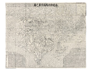
Large map of 118 x 144 cm wood engraved and printed on Japanese paper. Handwritten inscription in red ink in Chinese characters in the upper white margin, some tiny wormholes formerly restored.
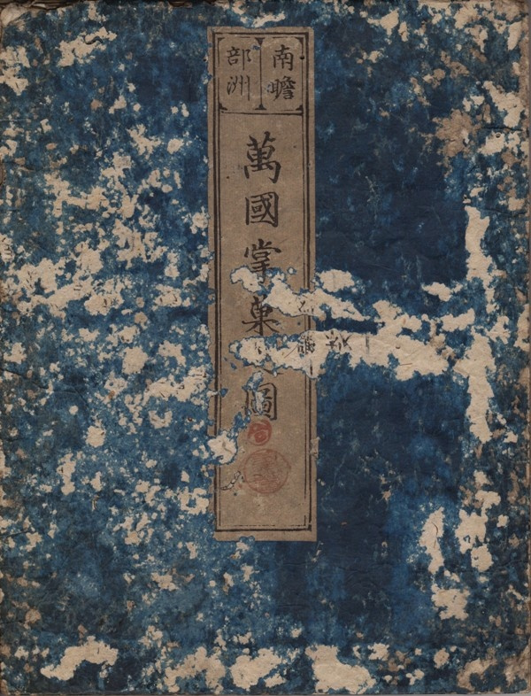
Original covers in blue paper slightly used. Folded and preserved in a modern blue protective case. Conserved in very good condition.
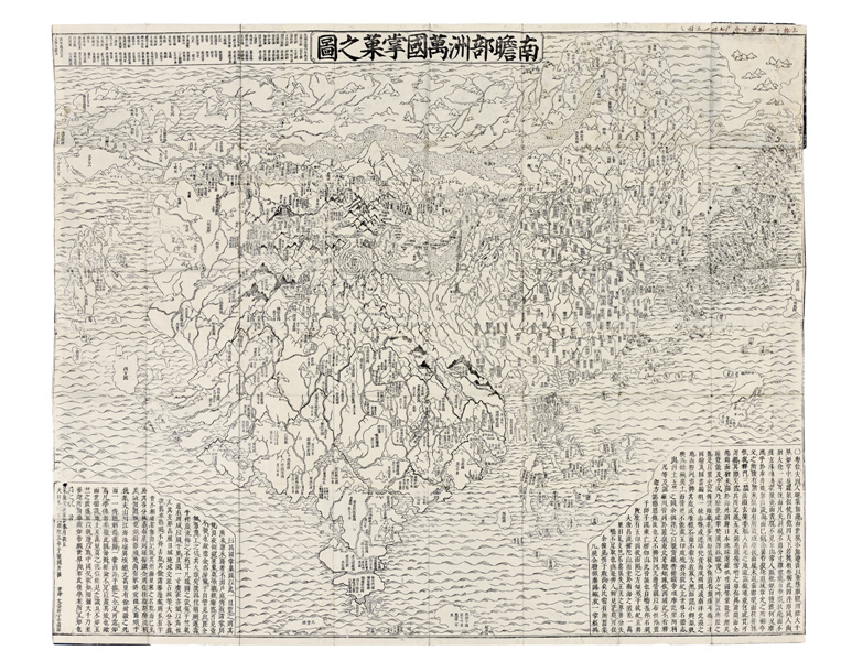
A superb and rare Japanese Buddhists map of the world, published in 1710 in Kyoto, showing the progress of geographical knowledge and Japanese mapping at the very beginning of the 18th century.
This is the first Japanese printed map to show the world, including Europe, Africa and America according to Buddhist cosmology, which will be used as a model to all Buddhist maps of the world, printed in Japan until the end of the 19th century.
This map is revolutionary because it is the first map printed in Asia to show cartographic detailed information and the traditional Buddhist cosmological vision.
The author of this map is the famous Buddhist monk from Kyoto, Zuda Rokashi (164-1728).
He offers to Japan, isolated until here, “a way to see a wider view of the world, but one that they could easily understand… his map was widely acclaimed for the numerous place names he furnished for Indian & Asian areas… very rare in Western maps…” (M. Nanba).
The text includes a list of Buddhist sutras, Chinese stories, literary classics, etc. Rokashi Hotan lists the 102 texts he used to draw the map in the caption on the top left corner of the picture.
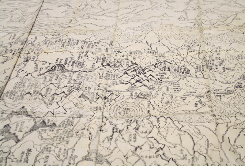
Rokashi Hotan does not determine the dimensions of the country according to the distances, but according to their religious importance. For example, India, the birthplace of Buddha, occupies the center of the card.
“Illustrates the fusion of Buddhist dogma and Western geographical knowledge. The basic outlines of the map are copied from a Buddhist prototype, the Gotenjiku Zu (map of the five Indies), whose characteristic features was the shield-shaped continent of Jambu-dvipa. Jambu-dvipa was the habitable world according toe the Buddhist cosmographical view. In this example the sacred lake of Anavatapta can be seen in the centre, from which flow four rivers in a whirlpool pattern. Jambu-dvipa can be equated topographically with the Indian peninsula, Lake Anavatapta symbolizes Lake Manasarovar in the Himalayas and the four rivers represent the Ganges, Oxus, Indus and Tarim. In order to preserve the traditional Buddhist outlines and at the same time incorporate the new knowledge of Western geography, the European and American countries are shown as small islands on the periphery of Jambu-dvipa. Although an amalgam of discordant ideas, the map became one of the most popular and widely circulated and served as a model for all later Buddhist maps” (O. Jones, Chinese & Japanese maps, British Library).
This map will be used as a model to all Buddhist maps of the world printed in Japan until the end of the 19th century.
A very beautiful map of the world published in 1710, of a great rarity, one of the most beautiful maps ever printed in Japan, in very good condition.
References: Yamashita, Japanese Maps of the Edo Period, p. 33, Nr. 1 ; Nanba, Old Maps in Japan, p. 13, pl.8 ; K. Unno, Cartography in Japan, 1994, 346-477; Cortazzi, Isles of Gold, p.38; Beans Coll. n°1710.1; Kerlen 44.