S.l., 1739.
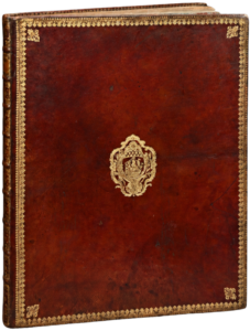
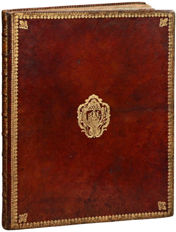
Folio bound in red morocco, boards decorated with a fleur-de-lis roll, fleur-de-lis at the corners, coat of arms in the center, spine with raised bands decorated with fleur-de-lis of different sizes, stars, and gilt fillets, decorated edges, inner fleur-de-lis roll, gilt edges. Binding of the period.
558 x 443 mm.
First printing of the most famous ancient map of Paris, known as the Turgot Map.
James de Rothschild. 2312; Cohen 807.
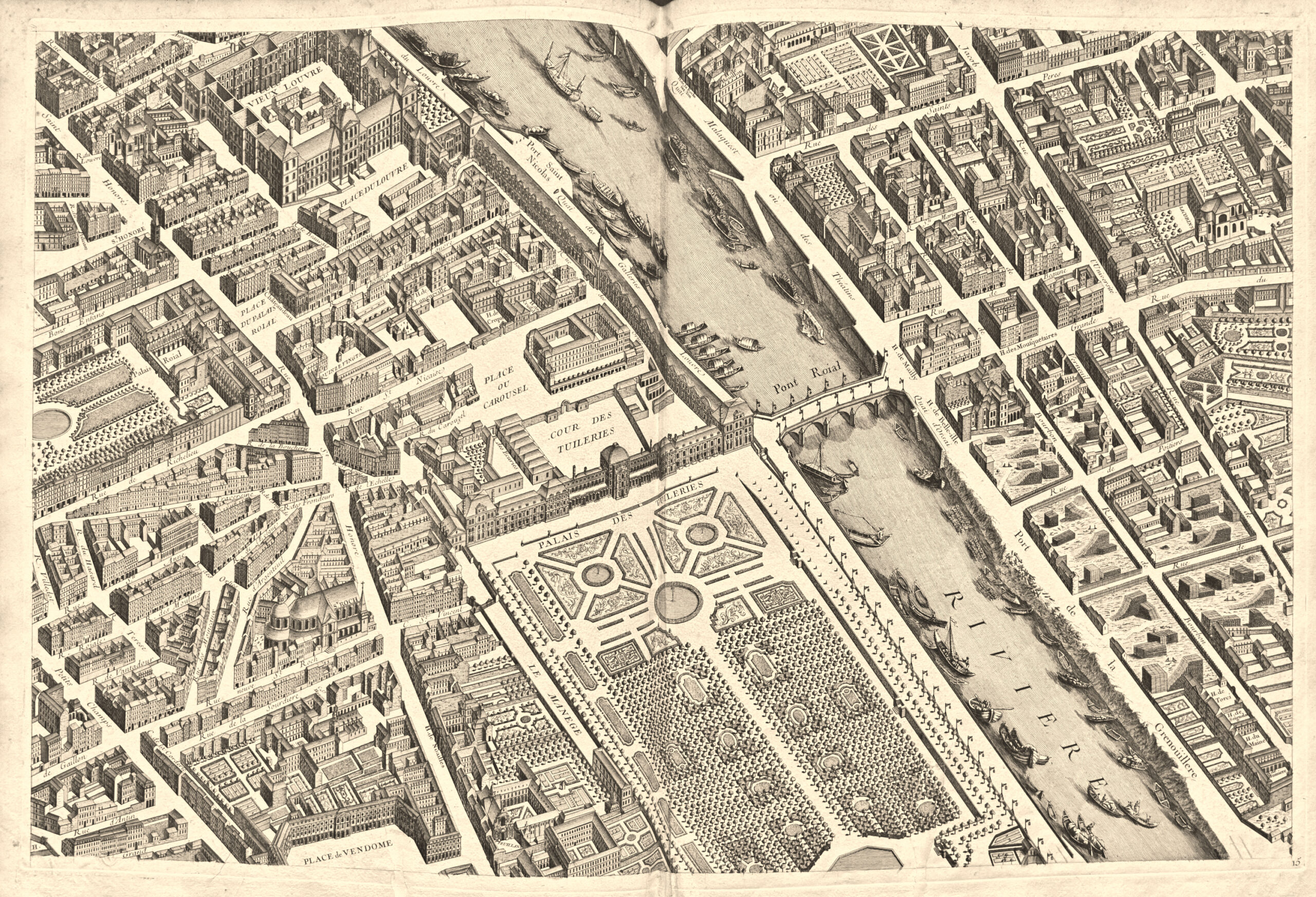
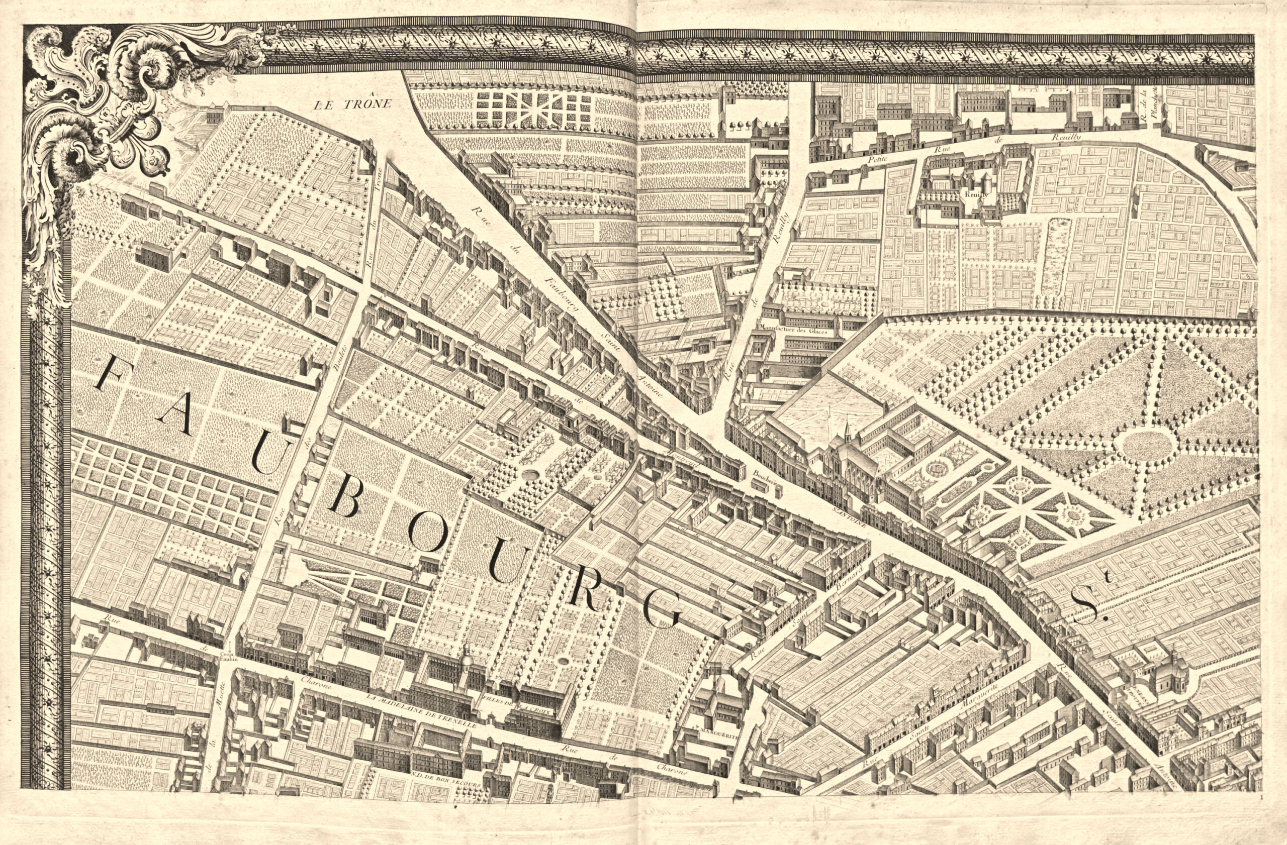
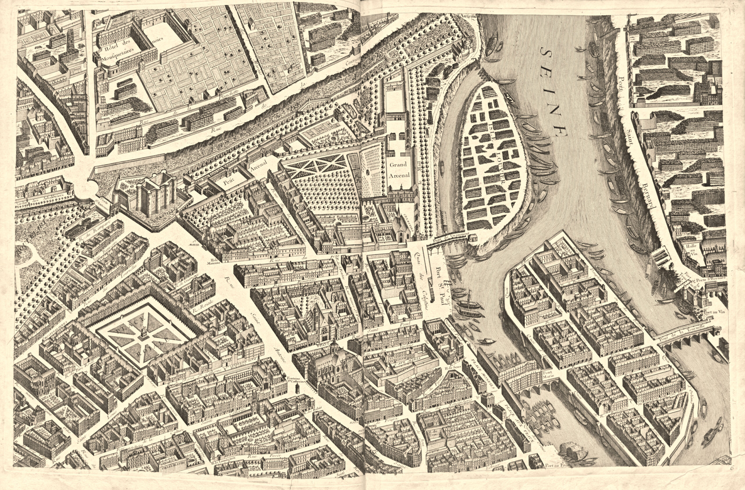
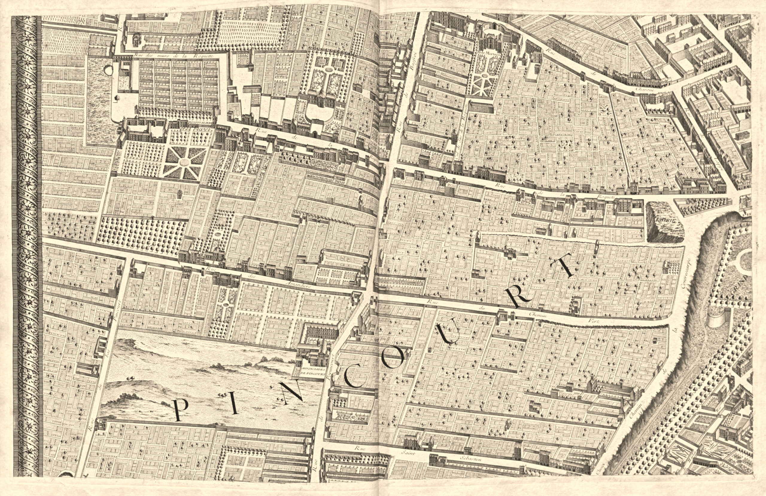
It consists of an assembly map and 20 double-page engraved plates (800 x 515 mm) depicting the Capital, building by building, in a panoramic view.” The goal in engraving this map was to show at a glance all the buildings and streets it contains,” the editor warns.
“This bird’s-eye view map, the largest of its kind ever undertaken, is improperly known as the ‘Turgot Map’. It consists (in addition to the assembly map) of twenty sheets that, when assembled, form five rows. Each sheet frames to a width of 79 cm and a height of 50 cm. The twenty sheets combined thus form a square of approximately 316 cm by 245, not including the margin. This surface would overwhelm more than one Parisian collector, too narrowly housed to accommodate it in their cabinet.
The engraved title is found at the bottom of sheets 18 and 19, in the middle of a very contorted cartouche, surrounded by scrolls and topped with the allegorical figure of the city of Paris leaning on its coat of arms.
This map most often takes the form of a grand in-folio atlas; each sheet, printed on thick paper, is folded in two and glued on a tab. It appears that most copies were bound at the time with varying degrees of luxury, probably to be distributed free of charge, undoubtedly, to all eminent figures; all bindings, whether in sheepskin or Levant morocco, are adorned in the center with the arms of Paris. There are copies printed with large margins.
This plan concludes the series of bird’s-eye view maps, and if, after this time, a few more of this type appear, they are older maps, copied or rejuvenated. Louis Bretez, who drew it around 1734, deviated from the generally accepted practice of orienting maps according to the meridian because, wanting to give Paris an elevated image, he had to, following the example of ancient geographers, prefer a system that allowed the portals of our old churches, still so numerous, to be viewed from the front, churches that mostly had their facades facing the west. It is regrettable that the map, as conceived, does not have a date at least a century earlier. It would have been, due to its size, of great interest to today’s archaeologists.
The drawing commissioned by Turgot was completed in 1734; it therefore represents the state of Paris at that time. Claude Lucas, who engraved it, is most likely the same person who worked on the plans of the La Caille districts, 1714, or perhaps his son.
The choice of the bird’s-eye view genre must have led to immense costs…
The image of Paris it represents still offers, I repeat, much appeal and documentation to archaeology. The few old buildings that have survived are disappearing so quickly today, or undergoing such strange transformations under the hideous mask of replastering, that Turgot’s Paris, prey to our thousand projects of alignments and enlargements, will soon have to be called in turn ‘old Paris’ […]. (A. Bonnardot,Archaeological Studies on the Ancient Plans of Paris, pp. 199-203).
These plates, with remarkable engraving, vividly show the old arrangement in perspective of Parisian sites, homes and monuments.
Copy printed on thick paper, adorned with brilliant prints, covered with a Padeloup binding with the arms of the city of Paris.
The title is engraved at the center of an assembly of two plates (1600 x 540 mm).