N.p., 1739.
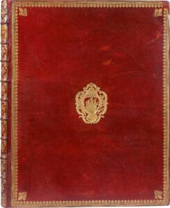
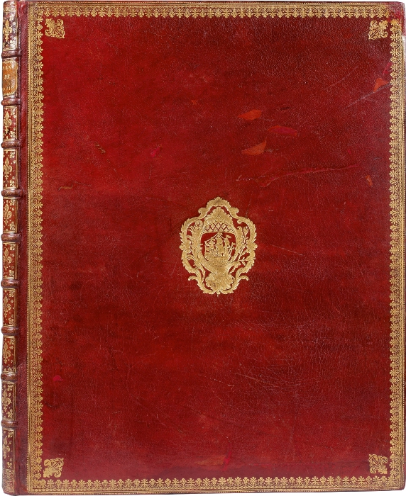
Folio, [560x450mm], contemporary red morocco, covers decorated with fleurs-de-lis borders, fleurs-de-lys at the corners, coat of arms in the center, spine ribbed and decorated with fleurs-de-lys of various sizes, stars and gilt filets, inner border with fleurs-de-lys, gilt edges (Padeloup).
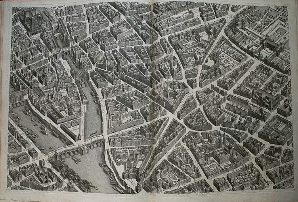
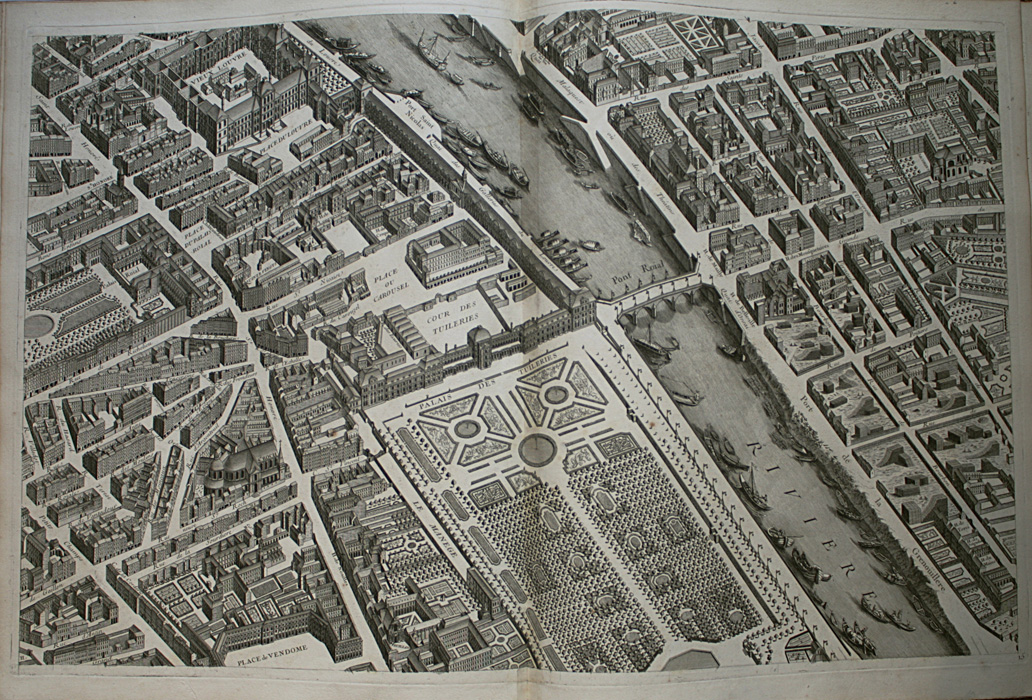
First issue of the antique map of Paris, called « plan de Turgot ». It is composed of one map of combination and of 20 plates engraved on double-page (800 x 515 mm) representing the capital, house by house, in a panoramic view. « We propose by making this engraved map to show at a glance all the buildings and all the streets of Paris » informed the editor.
These plates show the former layout, in perspective, of the Parisian sites, residences and monuments. This copy printed on thick paper, contemporary bound by Padeloup in red morocco with the arms of the city of Paris. The title is engraved in the center of a two plates combination (1 600 x 540 mm ). James de Rothschild. 2312; Cohen 807.
See less information
