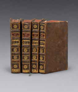
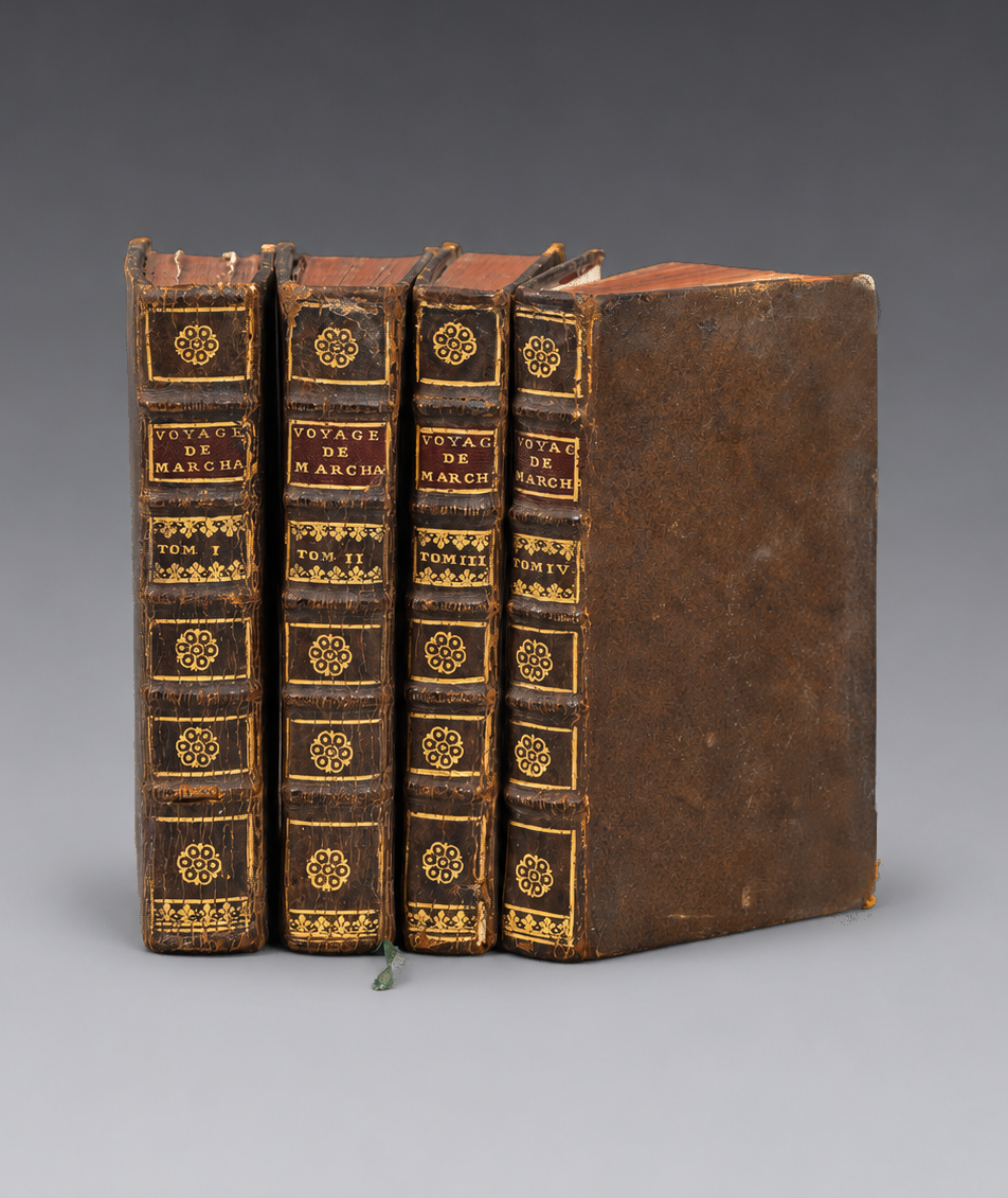
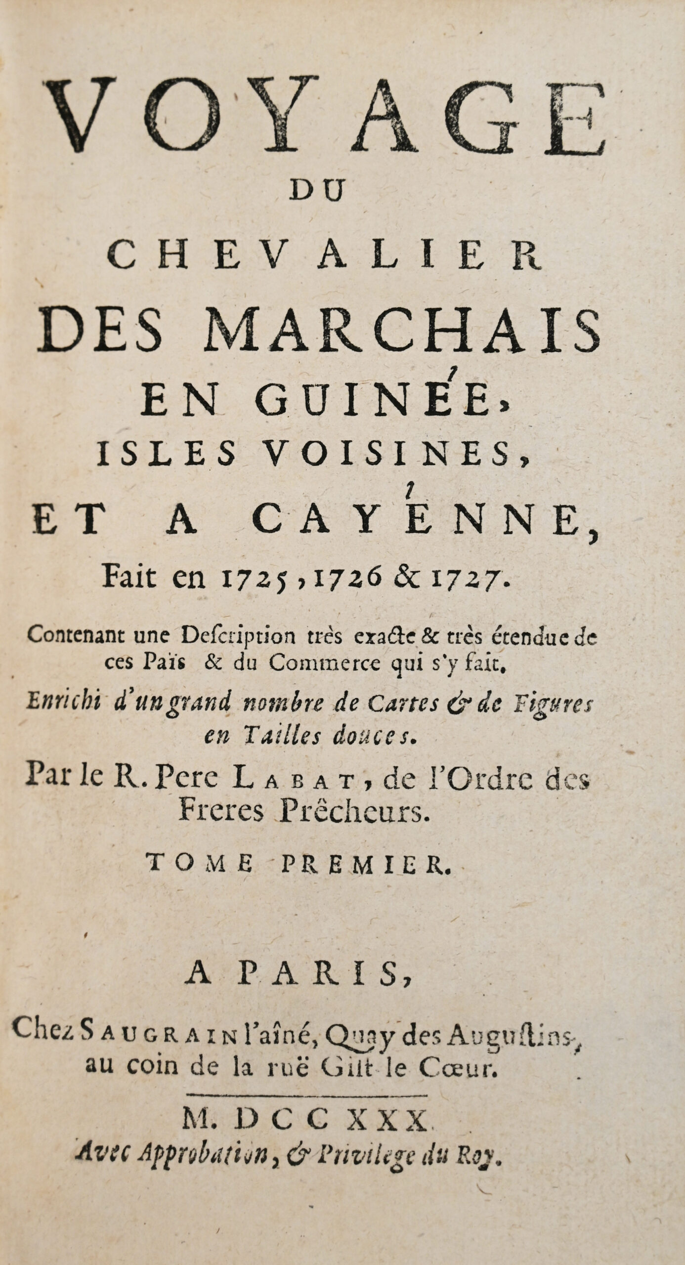
Paris, Saugrain l’aîné, 1730.
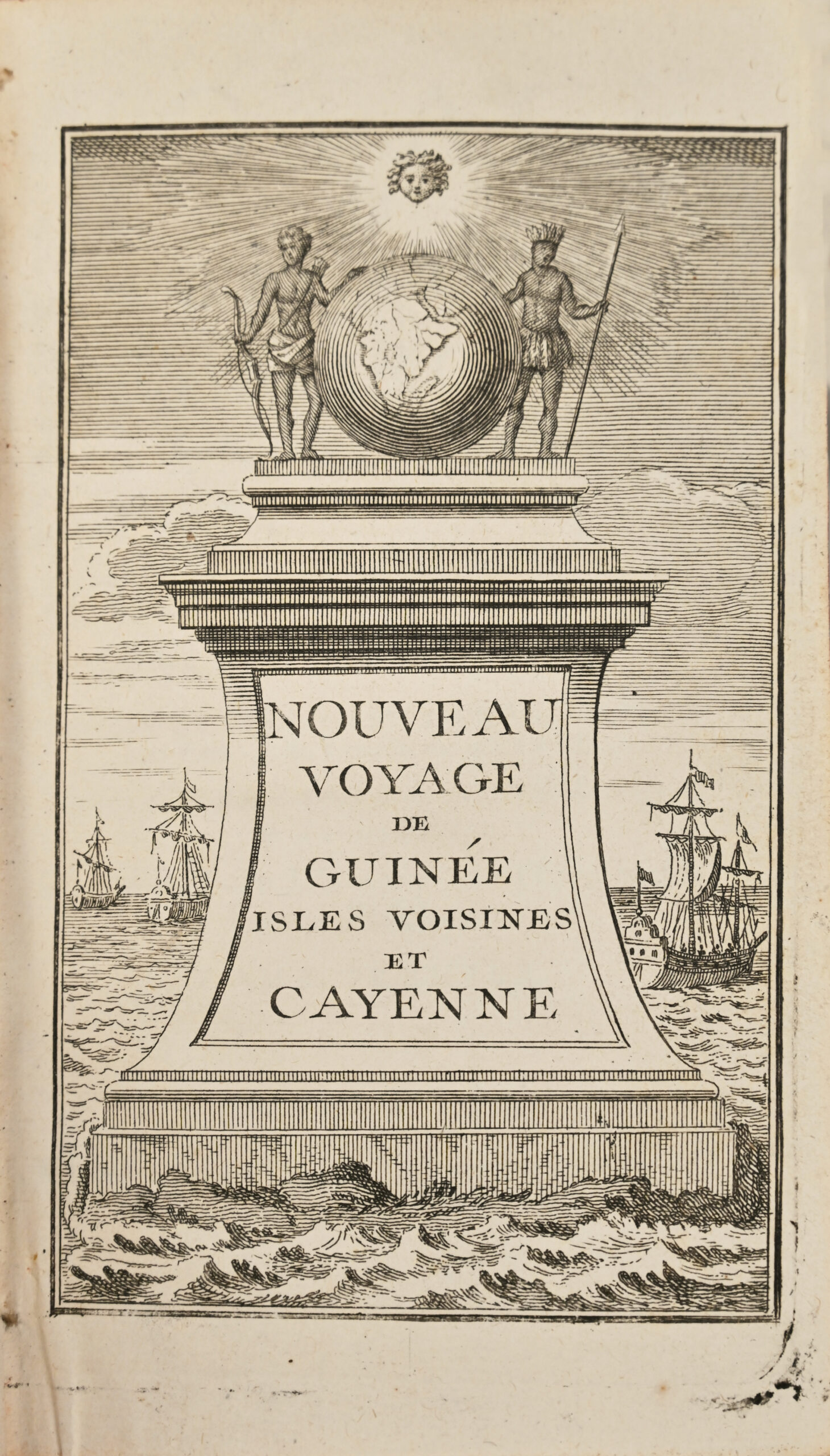
12mo: I/ 1 engraved frontispiece, xxiv pp., (2), 1 large folding map, 381 pp., 13 folding plates; II/ (2) leaves, 364 pp., 3 folding maps, 9 plates, including 6 folding plates, tear to one folding plate with no loss; III/ (2) leaves, 350 pp., 4 folding plates, including 1 map; IV/ (2) leaves, pp. 345–681, (18) leaves, 1 folding map. Mottled brown calf, raised bands on the spines decorated with gilt floral ornaments, burgundy morocco title labels, decorated board edges, red edges. Minor paper flaw at the corner of one leaf, not affecting the text; leather loss at the corners and minor worming to the spines of two volumes. Contemporary binding.
166 x 90 mm.
First edition of this highly regarded account, Labat’s second work devoted to the coasts of West Africa, based on the original memoirs of the Chevalier Renaud Des Marchais (16..–1728), an envoy of the French Guinea Company who spent time on the coasts of Guinea between 1725 and 1727. It is of great ethnographic and historical interest.
Chadenat, no. 97; Gay, no. 2819; Sabin, no. 38414.
The work is one of the most detailed sources on West Africa in the early eighteenthe century.
The account describes in detail the French, Portuguese, Dutch and English trading posts along the African coast, particularly those in Senegal, Sierra Leone, the Slave Coast and the Kingdom of Juda (Whydah). It covers European trade in Africa, local merchant networks, religious practices, indigenous political structures and the Atlantic slave trade.
For the region extending from the Sierra Leone River to Cape Gabon, Labat draws on firsthand information supplied by the Chevalier Des Marchais, a “great seafarer” who traded between Africa and Cayenne and had a good knowledge of African languages.
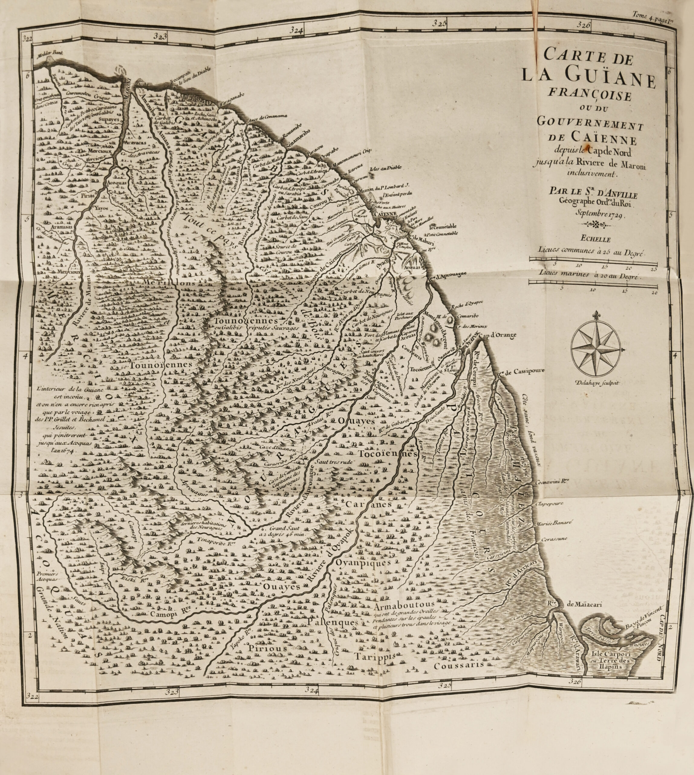
The last two volumes concern French Guiana and Cayenne.
The final volume contains an interesting abridged grammar in French and the language of the “Negroes of Juda,” as well as the complete text of the famous Code noir in force in the Islands and the Louisiana Code noir.
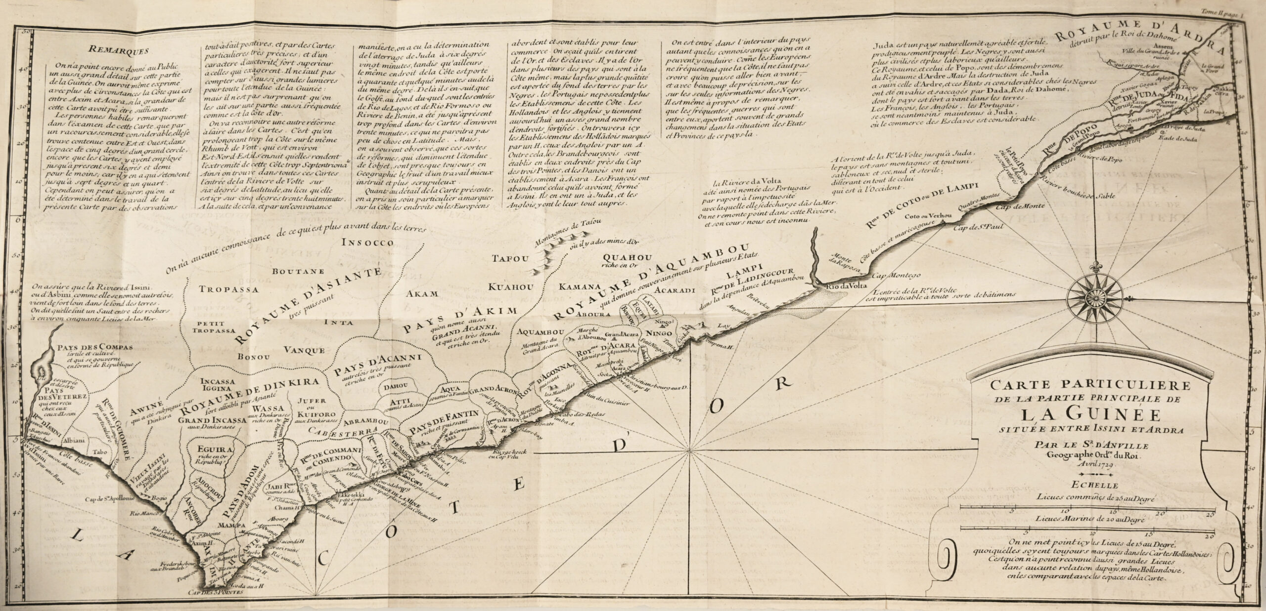
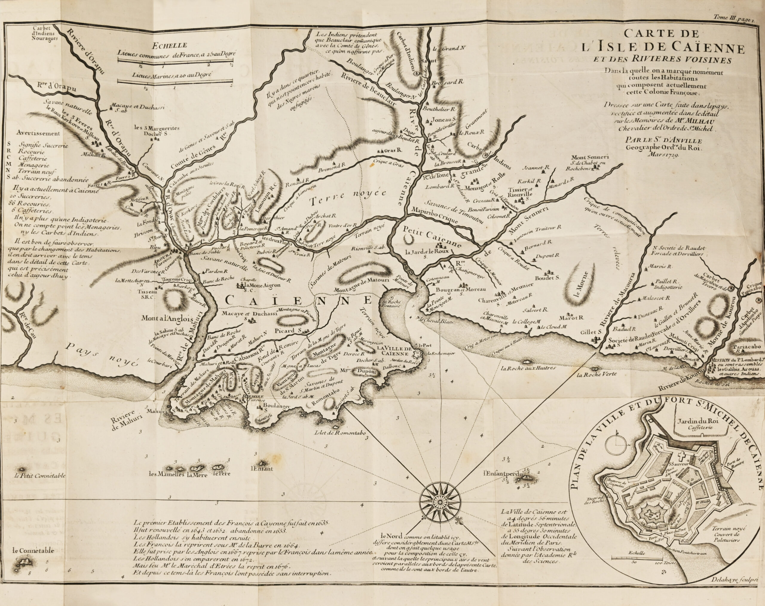
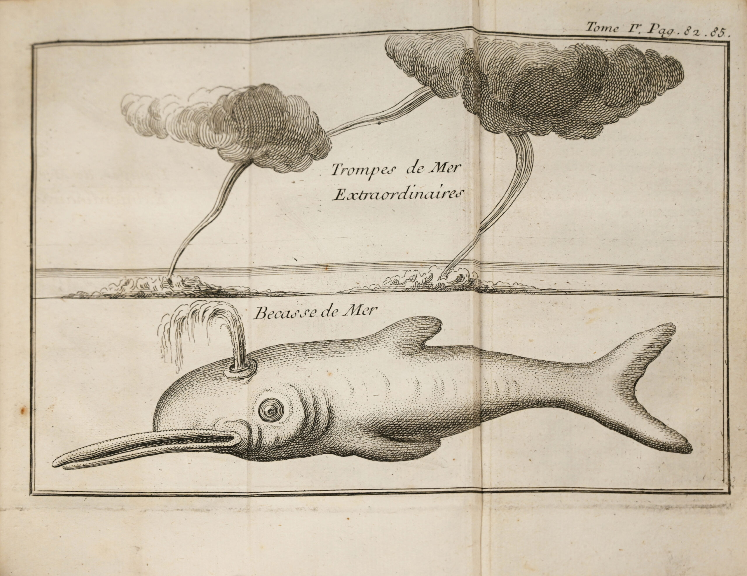
The illustrations comprise an engraved frontispiece, 25 plates, including 22 folding plates, and 6 folding maps and plans by D’Anville: Map of the Coast of Guinea and the Country…, Detailed Map of the Principal Part of Guinea…, Map of the Island of Cayenne and the Neighboring Rivers… and Map of French Guiana…, Detailed Map of the Kingdom of Juda, unsigned, in volume II.
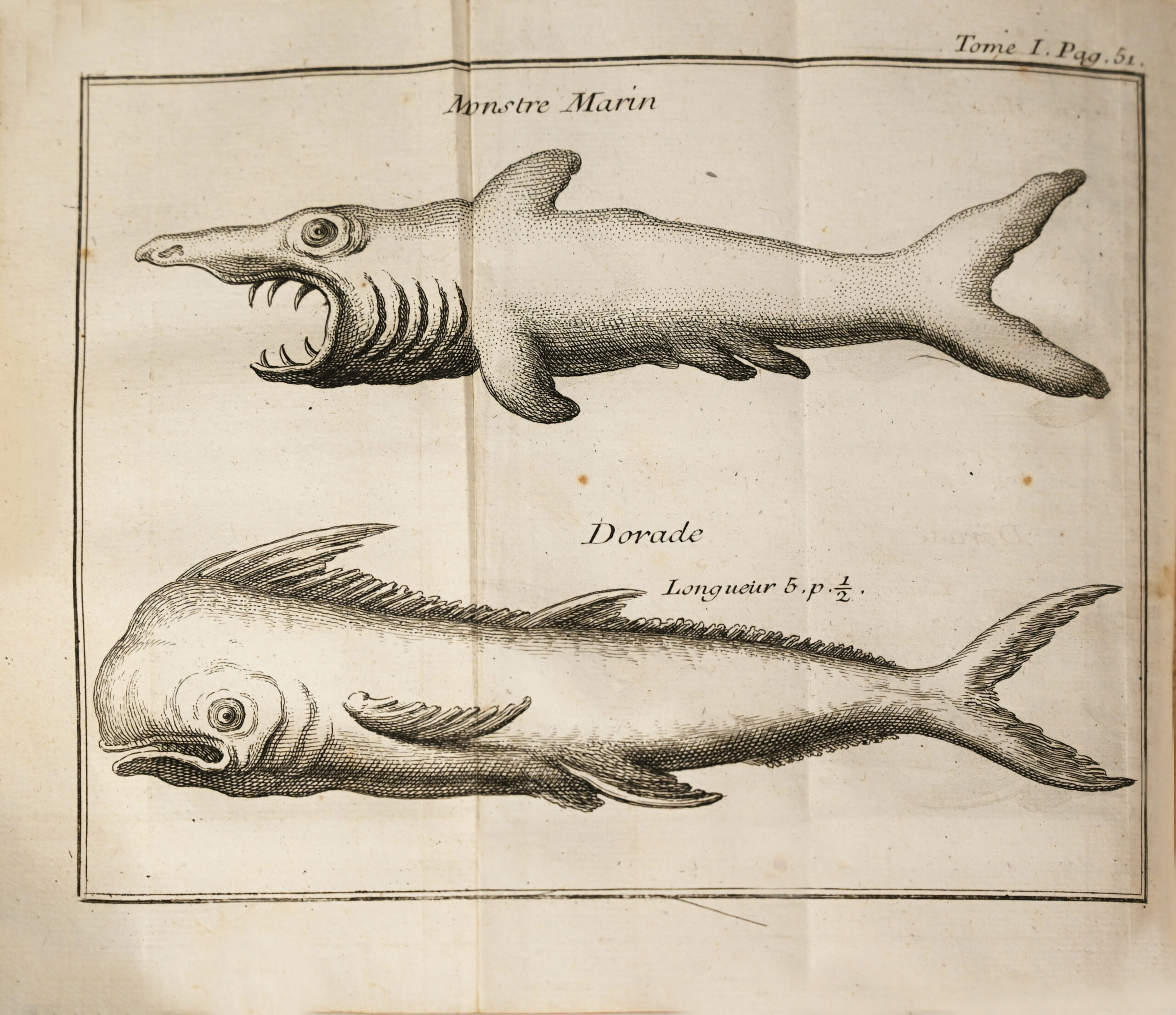
The plates, most of them folding, depict fish and marine mammals, coastal views, maps, costumes, etc.
A valuable copy, complete with all its illustrations and preserved in its original binding.
Bookplate of the Château de Rosny.
See less information