Amsterdam, Pierre Goos, 1662.
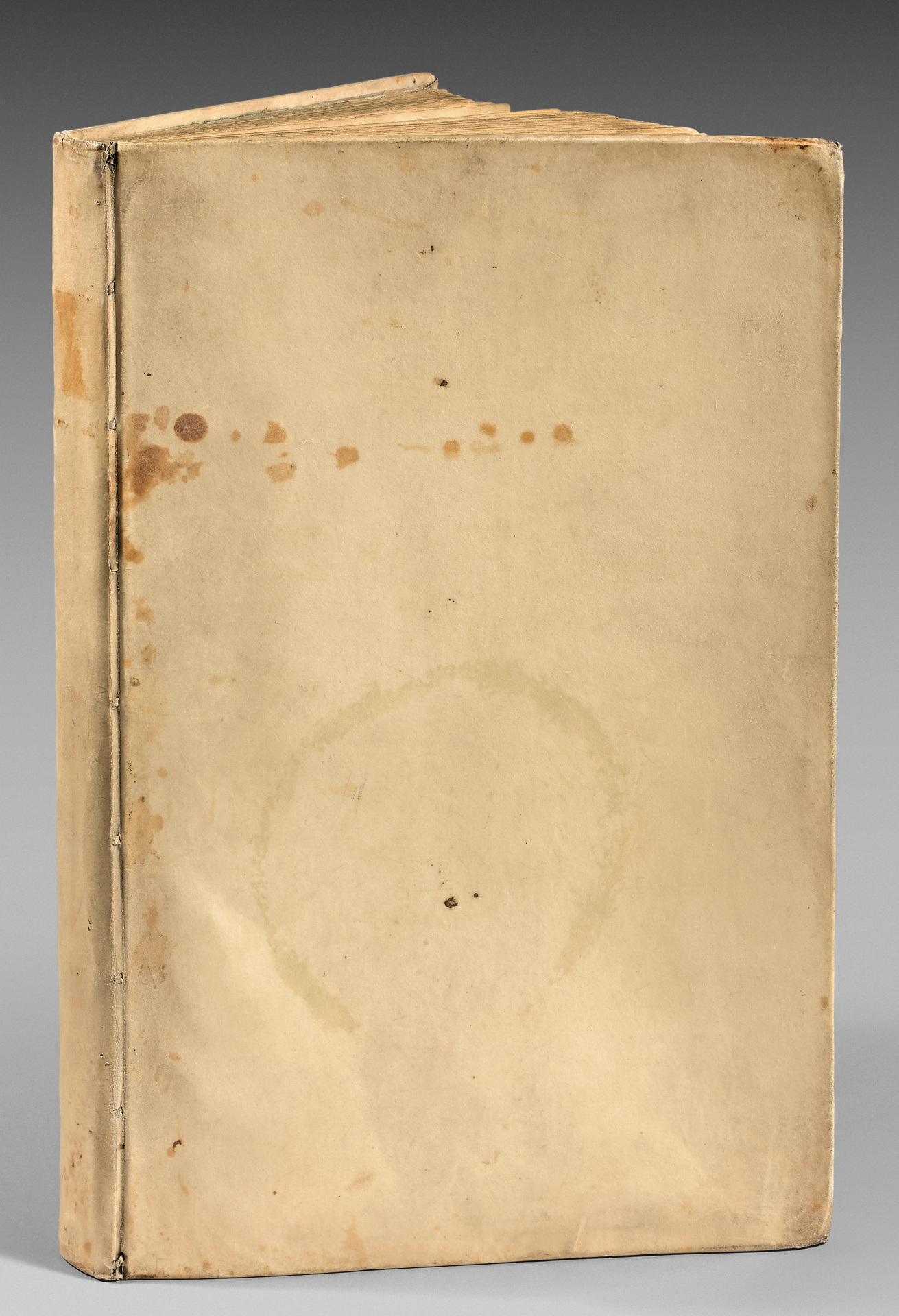
4 parts in 1 folio volume [446 x 284 mm] of (1) l., (20) ll. for the Instruction en l’art de la Navigation with woodcut volvelles, 128 pp. misnumbered 228 and et 33 maps on double-page. Contemporary ivory vellum, a few scattered waterstains and foxing. Contemporary binding.
Extremely rare first French edition of the most beautiful 17th century Dutch sea atlas.
Koeman, IV, Goos 40.
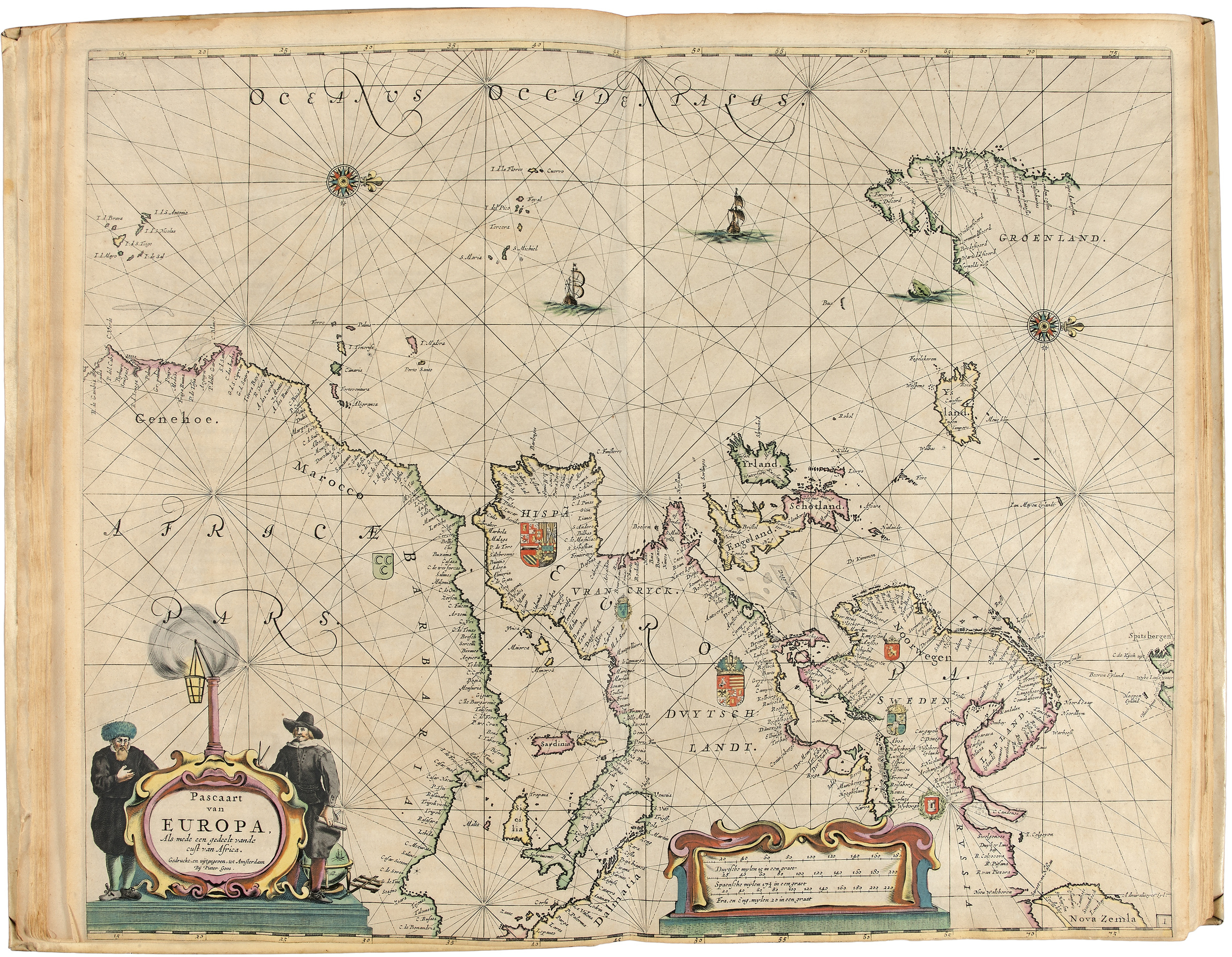
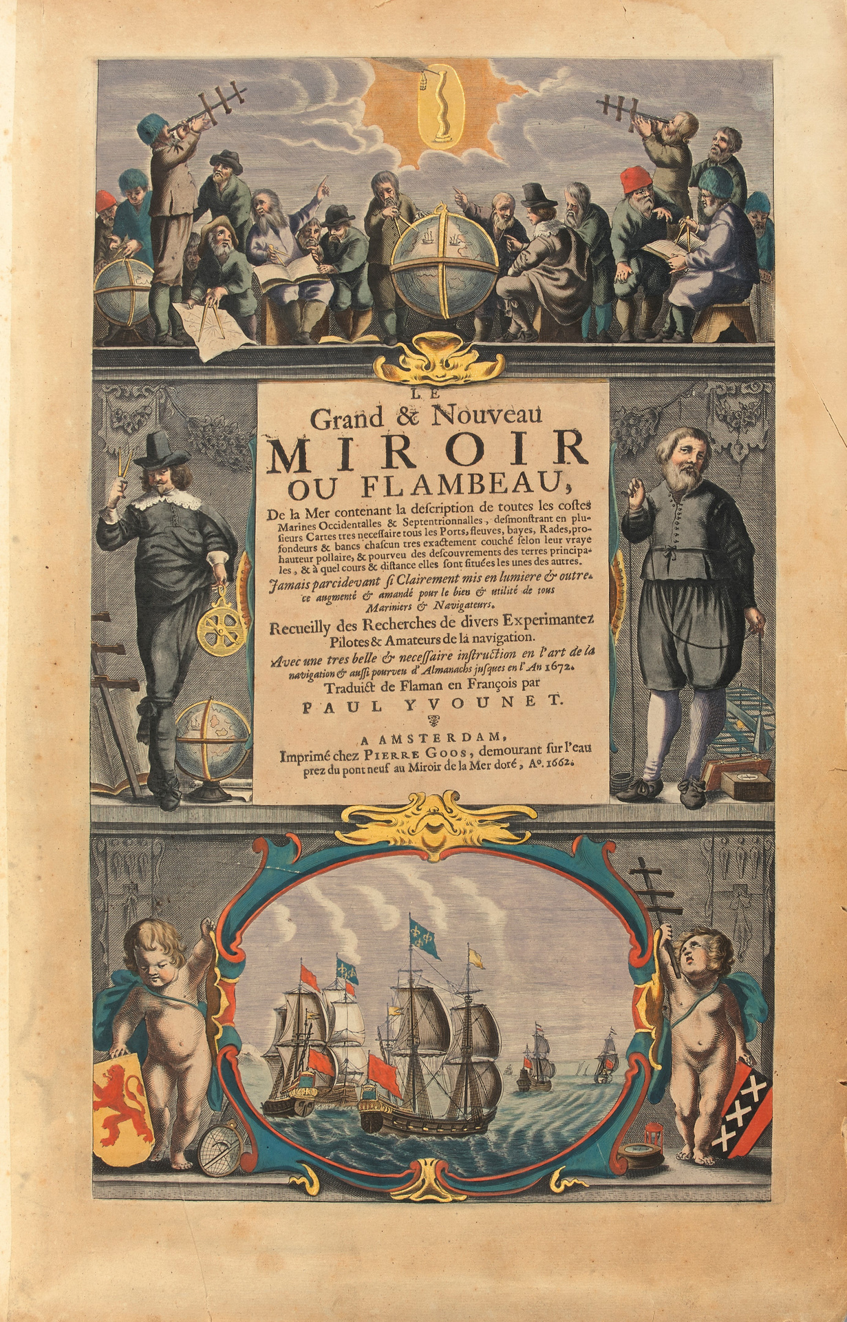
It is illustrated with a frontispiece and 33 very beautiful double-page maps, in contemporary coloring.
The composition of the French edition completely differs from those published in English or Dutch.
It includes maps of Great Britain, the Netherlands, Belgium, France, Spain, Portugal and the coasts of Morocco with the Canaries.
The text indicates the maritime routes to be followed and the dangers to avoid.
The cartographer Pieter Goos (1615-1675) was one of Amsterdam’s most esteemed booksellers who specialized in maritime works. Possessing a good reputation as a navigational map engraver, he also published atlases. His intention was more to produce sumptuous volumes intended for rich collectors rather than functional works for sailors and navigators.
« Pieter Goos was one of the best known maritime booksellers of Amsterdam. This beautiful sea atlas reflects a high professional standard. The many editions published over 25 years are an indication of the customers’ appreciation. Goos’s sea atlas was more intended for the book-lover than for the seaman” (Koeman).
“Dutch cartographer Pieter Goos (c. 1616-1675) was one of the most prominent engravers of navigational maps during the 17th century. His maps are considered some of the most beautiful of the era, a time when the Dutch dominated both shipping and cartography” (Moreland, C. & Bannister, D., 1986).
The illustration is composed of a frontispiece and 33 maps finely engraved on double-page representing the coasts of all the parts of the globe.
The frontispiece, the contours of the maps and the cartouches have been hand-colored at the time.
Very beautiful copy complete with its 33 maps engraved on double-page and with its frontispiece in contemporary coloring, preserved in its contemporary vellum binding.
Provenance: Biblioteca Lamoniana; Museum of the Citadelle Vauban, Belle-Île en mer.
President in mortar at the Parliament of Paris, then Great Chancellor, Chrétien-François II de Lamoignon ended his brilliant career as Keeper of the Seals. His prestigious library will be completed by his son Lamoignon de Malesherbes, director of the Library from 1749 to 1763 and future defender of Louis XVI.
This sea atlas in French is extremely rare; only 1 copy listed: Harvard University.